Seahawk Drone/UAS Services is based in southeast North Carolina, NC. We provide drone photography, ground photography, interior photography, floor plans and videography services to a myriad of clients in eastern North Carolina. We also offer advanced multispectral drone mapping for golf courses, row crops, blueberries and specialty crops, and forestry-helping clients assess vegetation health, identify potential stress, and make informed management decisions.

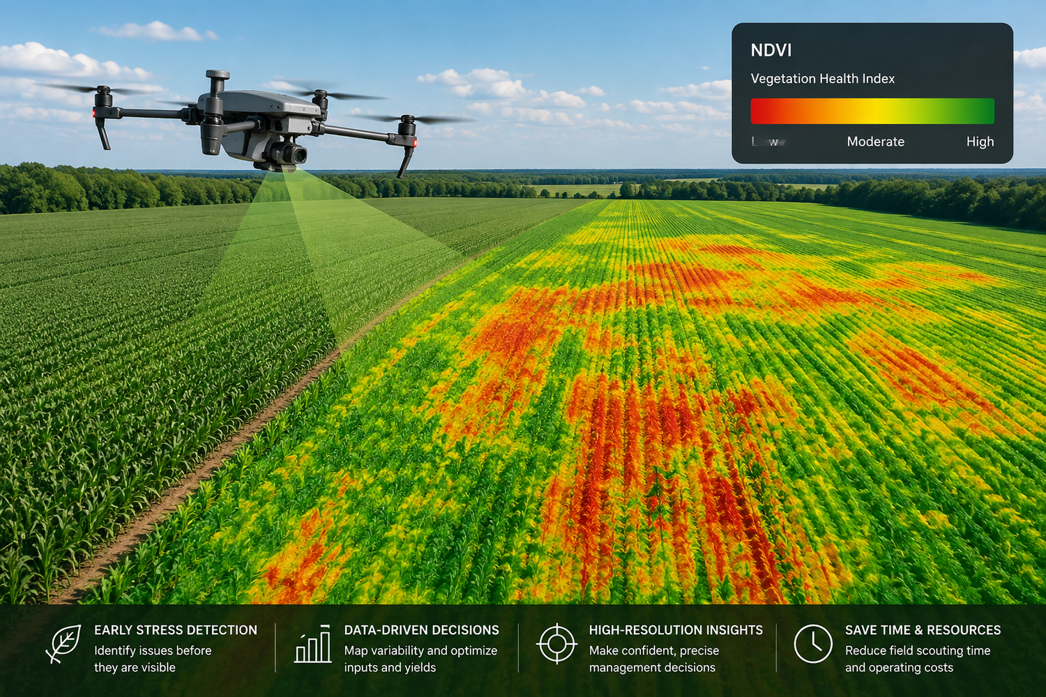
With multispectral mapping, see what the eye can't yet see...
Who We Are and Our Equipment
Seahawk Drone/UAS Services is a family owned business based in Eastern North Carolina. We use the latest, most advanced drones which capture 20 mp photographs and 5.4K, 4K, 2.7K and 1080p resolution videos. Once the photos/videos are captured, we edit our photos in Adobe Lightroom to assure maximum photo clarity and quality. Our videos are edited using Apple Final Cut Pro X and licensed music is used to give our videos a cinematic quality. Let our pictures and videos help tell your story!

The Seahawk Advantage
Seahawk Drone/UAS Services is dedicated to providing exceptional aerial photography, real estate photography, videography, and multispectral drone mapping tailored to your specific needs. From showcasing properties to evaluating vegetation health across farms, golf courses, specialty crops, and forestry, we deliver professional imagery and actionable insights you can trust.